
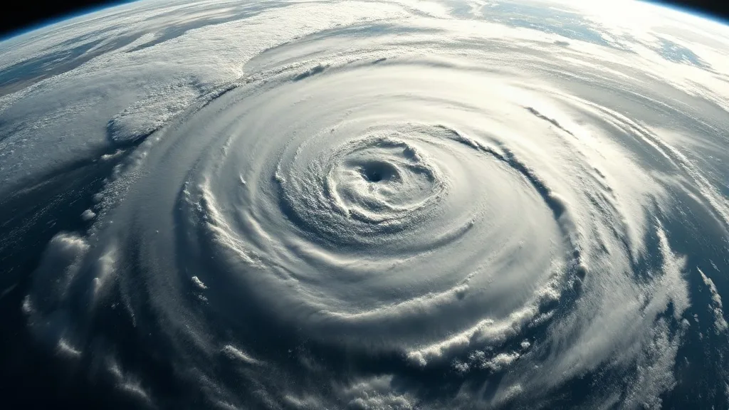
The Atlantic hurricane season of 2020 began with an unusual calm. Through late July, not a single named storm had formed, a stark contrast to the bustling seasons of recent years. Forecasters and coastal residents alike began to wonder if the season would fizzle. Then came Isaias. In a matter of days, the storm churned from a tropical wave into a Category 2 hurricane, leaving a trail of tornadoes, flooding, and power outages from the Caribbean to New England. Its message was unmistakable: it only takes one storm to turn a quiet season into a disaster.
The Calm Before the Storm
Meteorologists track hurricane activity using several measures, including the number of named storms, hurricanes, and major hurricanes. By late July 2020, the count stood at zero named storms, the latest start since 1983. Sea surface temperatures were warm, and atmospheric conditions seemed favorable, yet the storms simply did not materialize. This lull was partly due to Saharan dust intrusions and wind shear that suppressed development. But the ocean was quietly storing energy, and the atmosphere was about to shift.
On July 30, a tropical wave emerged off the African coast. It moved westward, and by July 31, it was designated Potential Tropical Cyclone Nine. The system quickly organized and was named Isaias later that day. Its rapid intensification caught some off guard, but it was a reminder that the tropics can awaken suddenly.
Isaias: A Storm of Many Faces
Isaias first impacted the Lesser Antilles, bringing heavy rain and gusty winds. It then skirted the northern coast of Hispaniola, causing flooding in the Dominican Republic and Haiti. As it approached the Bahamas, it strengthened to a Category 1 hurricane. The Bahamas, still recovering from the devastating Hurricane Dorian in 2019, braced for another hit. Isaias passed near Andros Island and Grand Bahama, delivering strong winds and storm surge.
By August 1, Isaias had weakened slightly but remained a hurricane. It then set its sights on Florida. The state, already grappling with a surge in COVID-19 cases, prepared for a possible landfall. However, the storm's center stayed just offshore, hugging the coast as it moved north. This track spared Florida from the worst of its winds but still brought heavy rain and coastal flooding. The close call highlighted the challenges of forecasting and the need for vigilance.
Landfall in North Carolina
On August 3, Isaias made landfall near Ocean Isle Beach, North Carolina, as a Category 1 hurricane with maximum sustained winds of 85 mph. The storm's arrival coincided with high tide, exacerbating storm surge. Coastal communities experienced significant flooding, and powerful winds downed trees and power lines. The rapid forward speed of Isaias meant that its impacts were felt far inland, a characteristic that surprised many.
Tornadoes and Inland Flooding
As Isaias raced up the Eastern Seaboard, it spawned numerous tornadoes. In Virginia, an EF-2 tornado damaged homes and businesses. In Maryland, an EF-1 tornado touched down. New Jersey and Pennsylvania also reported tornadoes, a reminder that hurricanes are not just coastal threats. Torrential rain caused flash flooding in urban areas, overwhelming drainage systems. In Philadelphia, the Schuylkill River rose rapidly, prompting evacuations. The storm's fast motion, while limiting total rainfall in some areas, also meant that intense bursts fell over a wide region.
Power Outages and Wind Damage
By the time Isaias reached New York and New England, it had transitioned to a post-tropical cyclone, but its winds remained fierce. Millions lost power, some for over a week. In Connecticut, a rare tornado touched down. The combination of saturated soils and strong winds brought down countless trees. The widespread outages strained utility crews and highlighted the vulnerability of aging infrastructure.
Why Isaias Mattered
Isaias was not a major hurricane in terms of wind speed, but its impacts were far-reaching. It demonstrated that even a Category 1 storm can cause billions of dollars in damage and disrupt millions of lives. According to NOAA, Isaias caused at least $4.7 billion in damages in the United States, making it one of the costliest storms of the 2020 season. More importantly, it underscored a critical lesson: a quiet start does not guarantee a quiet season.
The 2020 season ultimately became the most active on record, with 30 named storms. But Isaias was the wake-up call. It showed that it only takes one storm to cause catastrophe, and that preparedness cannot be postponed based on early-season calm.
The Science Behind the Sudden Shift
Why did the season suddenly become so active? Several factors aligned. The Madden-Julian Oscillation (MJO), a pulse of clouds and rain that travels around the globe, moved into a phase that favored Atlantic hurricane formation. Wind shear decreased, and the African easterly jet became more conducive to tropical wave development. These conditions, combined with record-warm sea surface temperatures, created a perfect environment for storms to form and intensify.
Isaias itself was a product of these changing conditions. Its rapid intensification, despite moderate wind shear, puzzled forecasters. The storm's large size and fast forward speed also made it challenging to predict exactly where the worst impacts would occur. This complexity is a hallmark of hurricane forecasting: small changes in track or intensity can have huge consequences for affected communities.
Lessons for the Future
Isaias offers several takeaways for residents, emergency managers, and policymakers. First, preparedness should be year-round. Waiting until a storm is named to buy supplies or make a plan is risky, especially during a pandemic when resources may be stretched. Second, inland impacts can be severe. Tornadoes, freshwater flooding, and power outages can occur hundreds of miles from the coast. Third, communication is key. Clear, timely warnings save lives. During Isaias, many people relied on social media and local news for updates, highlighting the need for accurate information from trusted sources.
Finally, Isaias reminds us that climate change may be loading the dice. Warmer oceans and a more humid atmosphere can fuel stronger, wetter storms. While no single storm can be attributed solely to climate change, the trend is clear: the risk of extreme weather is rising.
Frequently Asked Questions
What category was Hurricane Isaias when it made landfall in North Carolina?
Isaias made landfall near Ocean Isle Beach, North Carolina, on August 3, 2020, as a Category 1 hurricane with maximum sustained winds of 85 mph.
How many tornadoes did Hurricane Isaias spawn?
Isaias spawned at least 36 tornadoes across the eastern United States, from Virginia to Connecticut. This was one of the largest tornado outbreaks ever associated with a tropical cyclone.
Did Hurricane Isaias cause flooding in Florida?
Yes, although the center stayed offshore, Isaias brought heavy rain and coastal flooding to parts of Florida, especially along the Treasure Coast and Space Coast.
Why was the 2020 Atlantic hurricane season so active after a quiet start?
The season became extremely active due to a combination of favorable atmospheric conditions, including a strong West African monsoon, reduced wind shear, and record-warm sea surface temperatures. The Madden-Julian Oscillation also played a role in triggering storm development.
What can I do to prepare for a hurricane if the season starts quietly?
Prepare regardless of early-season activity. Stock supplies, know your evacuation zone, and have a communication plan. Stay informed through official sources like the National Hurricane Center. Remember, it only takes one storm to change everything.